Belgium/Luxembourg Taster
262 km from Trois-Ponts in the Belgian Ardennes to Clervaux, Luxembourg — forest switchbacks, quiet river valleys, and a border you'll barely notice crossing.
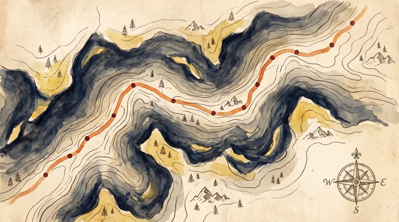
Forest switchbacks and a border you'll barely notice
262 km from Trois-Ponts in the Belgian Ardennes to Clervaux, Luxembourg — forest switchbacks, quiet river valleys, and a border you'll barely notice crossing. Point-to-point, so sort your return before you set off.
Moving time only — it excludes stops. Fuel, coffee breaks and lunch easily add a couple of hours to the day, so plan accordingly.

Elevation profile
Rider notes
Nobody sends you here for the mountains. They send you here for the road that never stops turning — forest, then farmland, then forest again. Go early if you want the forest sections to yourself.
What's in the GPX
| # | Waypoint | Why stop |
|---|---|---|
| 1 | Trois-Ponts | Start — Belgian Ardennes |
| 2 | Clervaux | Finish — Luxembourg |
Older Garmin and TomTom units that navigate from route points rather than a recorded track may prefer this second file — same road, 62 waypoints instead of a dense track. Download the route-point version