The Grand Dolomites Pass Circuit
Bolzano to Bolzano, 300 km, nine mountain passes and more hairpins than any sane person should attempt to count — Costalunga, Sella, Gardena, Valparola, Falzarego, Giau, Cibiana, Duran and San Pellegrino.
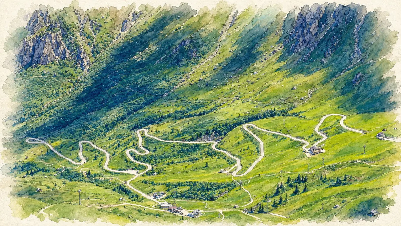
There are a hundred ways to link these passes. This is the easy one.
That is genuinely the point of this route. You can spend a week in the Dolomites and never ride the same combination twice — the passes interlock like a puzzle and almost every permutation works. What you have here is the version I keep coming back to: a single, manageable day that strings together the best of the high country without turning into an endurance event. Nothing clever, nothing forced. Just a nice, easy loop with absolutely stunning views.
Moving time only — it excludes stops. Fuel, coffee breaks and lunch easily add a couple of hours to the day, so plan accordingly.
"I have ridden this loop on all kinds of motorcycles, in sunshine, in cloud and in properly miserable rain, and it is a good day out every single time. But for the views — the ones that make you want to pull over, enjoy the vista and take a bit of time to ingrain the memory in your mind — wait for a clear day."
— Alan Jones, on The Grand Dolomites Pass CircuitElevation profile
How it rides
Let me get the important part out of the way first: there are so many good ways to do this route. Swap Sella for Pordoi, add Campolongo, run the whole thing backwards, cut out the southern loop — all of it works, and the Dolomites reward experimenting more than almost anywhere else in Europe. What follows is simply a nice and easy version with absolutely stunning views, and it is the one I hand to people who are riding here for the first time.
It is not a long day either. Around 300 km depending on how you ride it, which sounds modest until you remember that almost none of it is straight. Budget seven hours of actual riding and then add whatever you are honest enough to admit you will spend on photographs, coffee and standing at the edge of car parks looking at mountains.
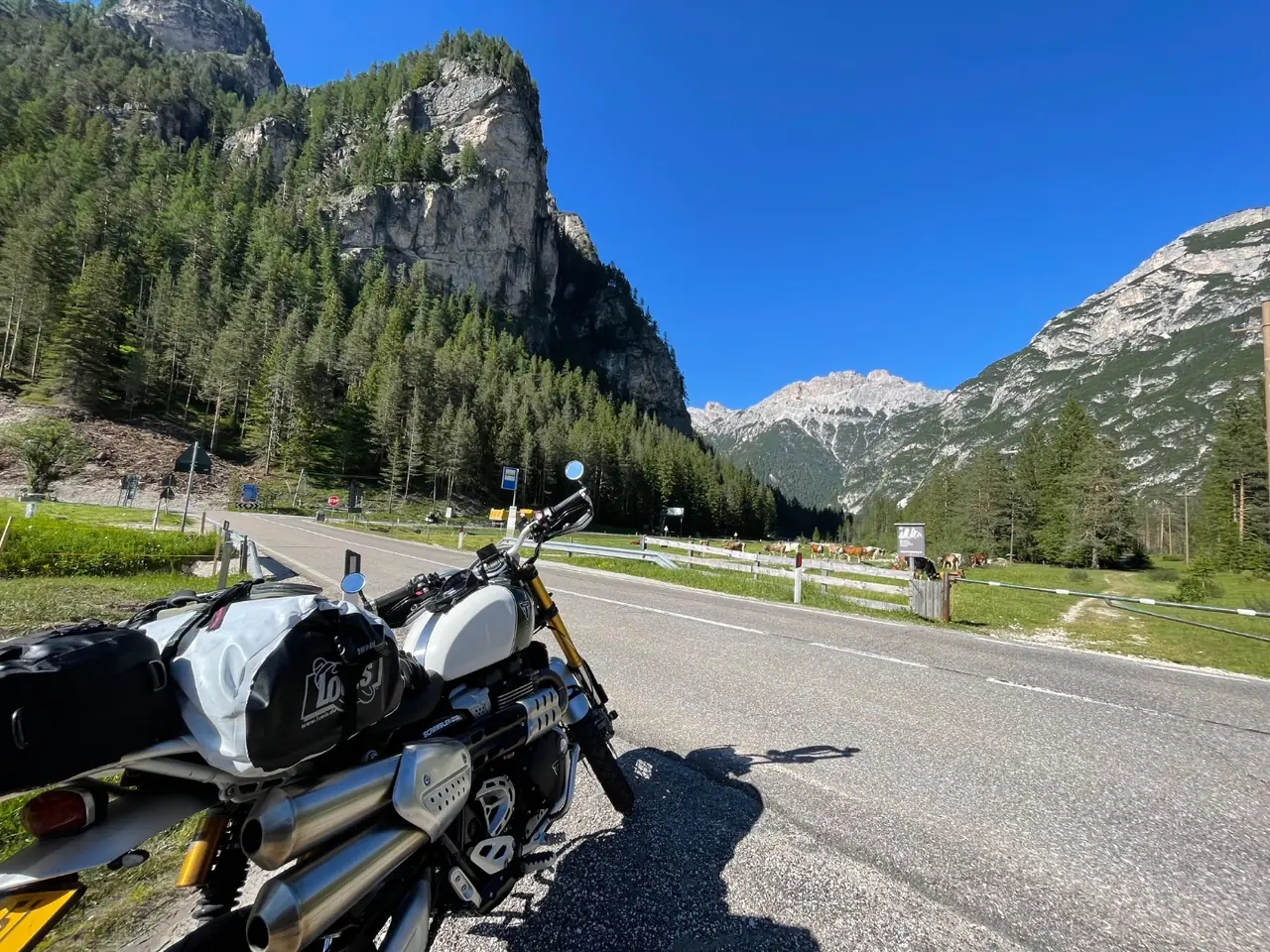
Early morning, empty road, cows for company. This is the version of the Dolomites you want.
Out of Bolzano — Costalunga and the Rosengarten
Leaving Bolzano the road climbs east into the Val d'Ega, and within twenty minutes the vineyards have gone and the limestone has arrived. Passo di Costalunga, or Karerpass if you prefer the German, sits at 1,753 m between the Latemar and the Rosengarten. It is the gentlest climb of the day and a good one to warm the tyres on, with dark spruce forest giving way to those first pale towers.
From the summit the road drops into the Val di Fassa and runs up through Vigo, Pozza and Canazei. Canazei is the last easy place for fuel and shopping before the high stuff, so use it.
The high country — Sella and Gardena
Above Canazei the route turns north and climbs to Passo Sella at roughly 2,240 m, wedged between the Sassolungo and the great flat-topped bulk of the Sella massif. Officially the pass saddle is listed at 2,218 m by the South Tyrol tourist board, though the road tops out a little higher near the Sella car parks. Either way, it is one of the great views in the Alps and it is barely ten minutes from the valley floor.
Down into Val Gardena, then straight back up over Passo Gardena (Grödner Joch) at 2,121 m — wide, open, beautifully cambered, and the pass where most people first understand what everyone has been going on about. It drops you into Alta Badia and Corvara.
The approach to Valparola — scree, rock walls and Great War ground.
Valparola, Falzarego and the Great War
From Corvara the route runs through La Villa and San Cassiano and up to Passo Valparola. The road high point at the Forte Tre Sassi car park is signed at 2,192 m; the true saddle a little lower down is 2,168 m, which is why you will see both numbers quoted. There is a Great War museum in the old fort and the whole hillside is scarred with trenches and tunnels — this was front line for three years.
A kilometre later you are at Passo Falzarego, 2,105 m, with the Lagazuoi cable car and some of the most theatrical grey rock walls on the entire circuit. It is a busy pass. It is also worth every bit of the traffic.
Passo Giau — the one you came for
If the route has a headline act, this is it. Passo Giau at 2,236 m is high, exposed, treeless and completely theatrical, with hairpin after hairpin stacked up open grassy slopes and the Ra Gusela spire standing over the summit. There is nothing technical about it. There is simply a lot of it, and it is glorious.
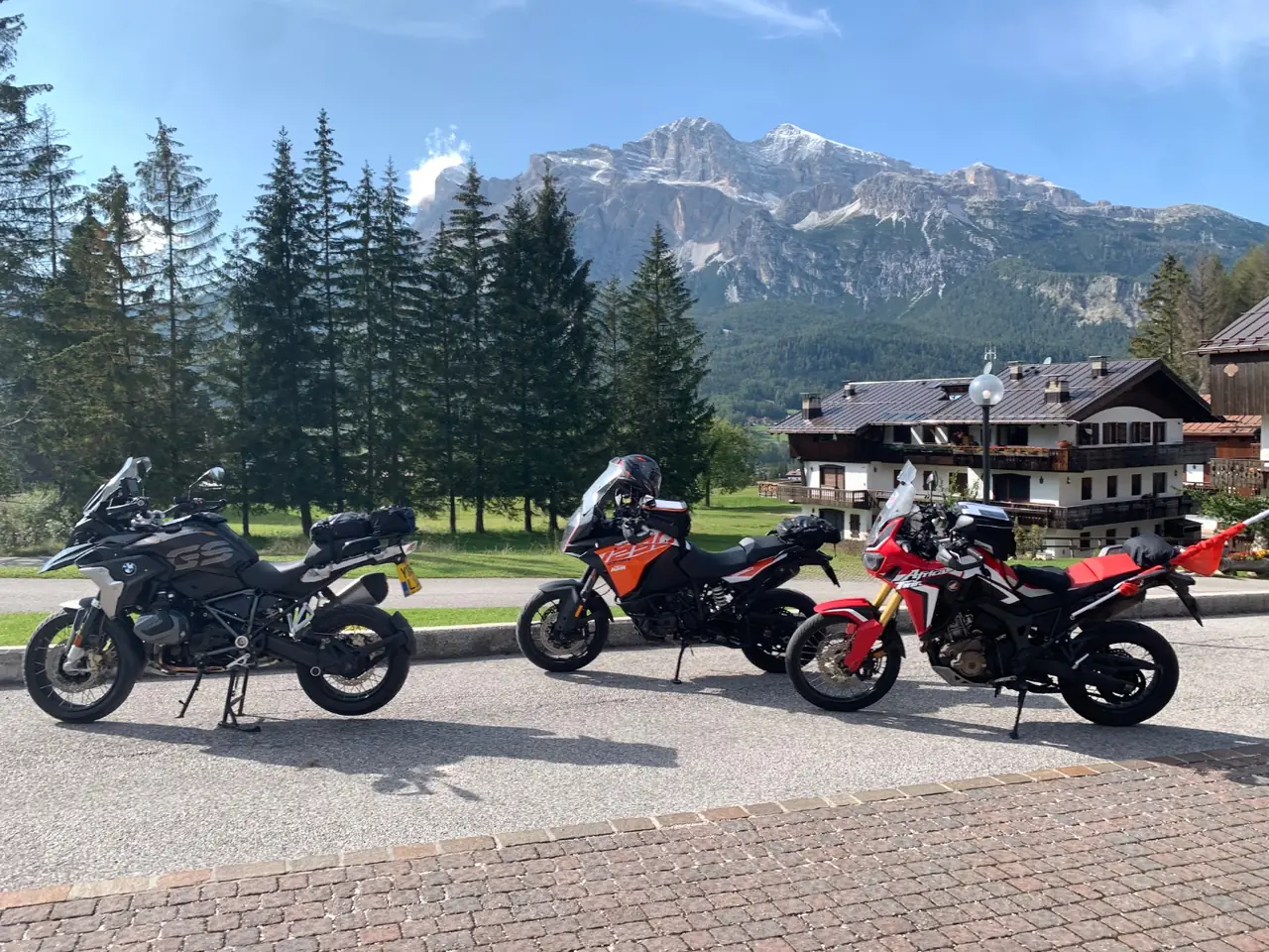
Cortina d'Ampezzo, with the Tofane doing the heavy lifting in the background.
Giau spills you down to Cortina d'Ampezzo, which is the obvious lunch stop and priced accordingly. If you would rather keep your money, push on — the Boite valley south of town has plenty of quieter options.
The quiet half — Cibiana and Duran
Here is where the route earns its keep. Most riders turn around at Cortina and go back over the same passes. Instead, this loop heads south over Passo Cibiana (1,530 m) and then Passo Duran (1,605 m), and the difference is immediate: narrow, wooded, technical roads with almost nobody on them. Duran in particular is tight and slow and a genuine pleasure. Watch the surface after rain.
Note that Passo Duran has had roadworks closures in 2026 — the Comune di Val di Zoldo has run weekday daytime closures for road consolidation, so it is worth a quick check before you set off.
Home over San Pellegrino
The run west through Agordo and Falcade climbs to Passo San Pellegrino at 1,918 m — broad alpine meadows, ski lifts, distant peaks and a much more relaxed rhythm than anything that came before it. It is the right way to finish. From there it is back through Moena, over Costalunga a second time, and down the Val d'Ega into Bolzano as the light goes gold on the Rosengarten.
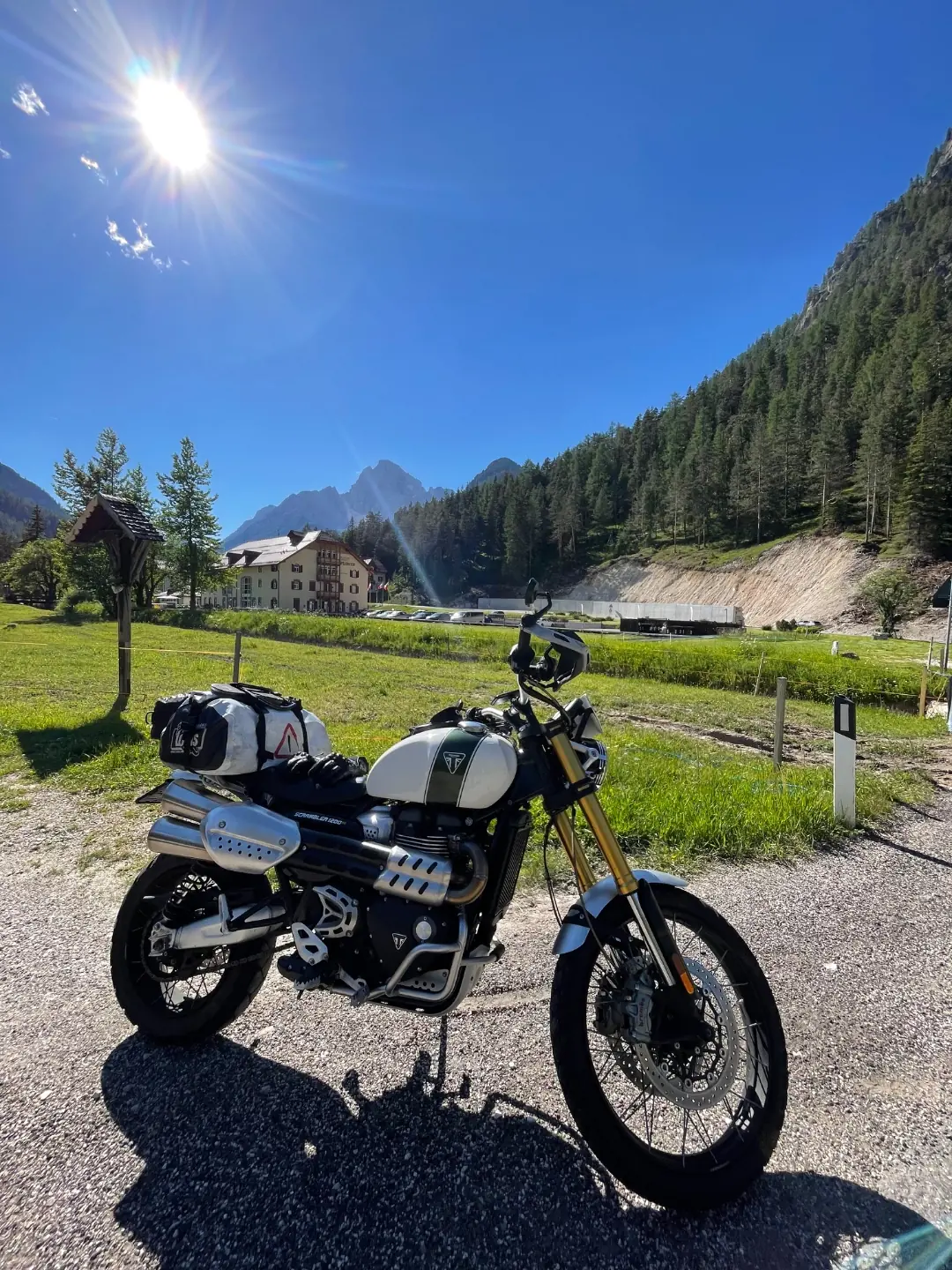
Late afternoon light, luggage still strapped on, one more pass to go.
Weather — and why you should wait for a clear day
I have ridden this loop many times, on all kinds of motorcycles and in every kind of weather. It is a good ride in cloud. It is still a good ride when it is hammering down and you are standing on Falzarego in a wet-weather suit wondering about your life choices. The roads are well surfaced and the hairpins are forgiving, so poor conditions rarely spoil the riding itself.
But the views are the whole reason to come here, and in cloud you simply do not get them. If you have any flexibility at all, wait for a clear day. The difference between Giau in sunshine and Giau in fog is the difference between the best day of your trip and a slightly damp 300 km.
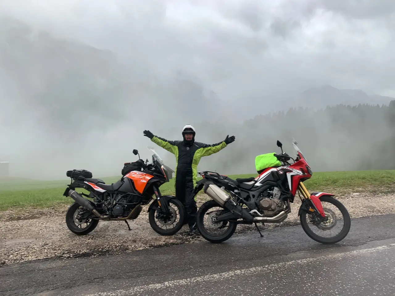
Same route, different day. Still worth it — but you can see what you are missing.
What's in the GPX
The file is a GPX 1.1 track built in Kurviger, with twelve named waypoints already embedded — the start, every pass summit and the two obvious town stops. Load it into Kurviger, Garmin, TomTom, Calimoto, OsmAnd or Scenic and each waypoint appears on the map with a short note attached.
| # | Waypoint | Why stop |
|---|---|---|
| 1 | Bolzano / Bozen | Start and finish — fuel up here, the valley prices are the best you will see all day |
| 2 | Passo di Costalunga / Karerpass — 1,753 m | First climb of the day, between the Latemar and the Rosengarten |
| 3 | Canazei | Val di Fassa hub — coffee, fuel and the last easy shopping before the high passes |
| 4 | Passo Sella / Sellajoch — 2,240 m | Sassolungo on one side, the Sella massif on the other; published heights range 2,218–2,244 m |
| 5 | Passo Gardena / Grödner Joch — 2,121 m | Fast, open and beautifully cambered on the way down into Alta Badia |
| 6 | Passo Valparola — 2,192 m | Forte Tre Sassi and the Great War museum; the true saddle below is 2,168 m |
| 7 | Passo Falzarego — 2,105 m | One kilometre from Valparola — Lagazuoi cable car and huge grey rock walls |
| 8 | Passo Giau — 2,236 m | The best hairpins on the route. Do not rush it |
| 9 | Cortina d'Ampezzo | Lunch stop with the Tofane behind you, priced accordingly |
| 10 | Passo Cibiana — 1,530 m | Quiet, wooded and almost traffic-free |
| 11 | Passo Duran — 1,605 m | Narrow, technical and the least-ridden pass of the day; check for roadworks |
| 12 | Passo San Pellegrino — 1,918 m | Broad meadows and a relaxed run back towards the Val di Fassa |
Heights are per the South Tyrol tourist board and Italian Wikipedia. A few passes carry two published figures — Valparola is 2,168 m at the true saddle and 2,192 m at the car park, and Costalunga is listed as 1,745 m by South Tyrol Tourism and 1,753 m by Wikipedia. Nobody will test you on it. Costalunga is also ridden twice, once in each direction, which is why nine passes make ten crossings.
Practical notes
Season. June to October is the safe window. Gardena, Sella and Falzarego are usually kept open all year weather permitting, but Giau, Valparola and Duran are regularly shut for days at a time by snow outside high summer. Check the provincial road bulletins before an early or late-season attempt.
Car-free days. Several of these passes close to all motorised traffic for cycling events. In 2026 that means Sellaronda Bike Day on 6 June and 12 September (Gardena, Sella, Pordoi, Campolongo, roughly 09:00–16:00), Dolomites Bike Day on 20 June (Campolongo, Falzarego, Valparola), and the Maratona dles Dolomites on 5 July, which shuts seven passes including Giau. Turning up on one of those mornings is a memorable way to ruin a plan.
Passo Gardena access. A seasonal limited-traffic zone for Passo Gardena has been proposed from 2027, with a pilot test expected in autumn 2026, according to Insella. Worth keeping an eye on if you are planning a trip further ahead.
Traffic and etiquette. In July and August the popular passes are busy with cars, coaches, cyclists and a great many other motorcycles. Ride your own ride, leave room, and remember that a cyclist grinding up Giau at walking pace has earned the road more than you have. Early starts are transformative — be over Sella by nine and you will have most of it to yourself.
Fuel. Bolzano, Canazei, Corvara, Cortina and Agordo. The stretch between Cortina and Agordo over Cibiana and Duran is the thinnest part of the day, so top up in Cortina.